It was one of those rare autumn days. After several days of cold and wet, the sun shone, the sky was completely cloudless, and the temperatures rose - just warm enough to be pleasant, with enough of a nip in the air to let you know the dog days were history. The colors were past peak (not unlike your author), but there were still enough of the vibrant reds, yellows and golds to take your breath away.
It was the perfect day for yard work - one more chance to tidy up the yard and get those last few things buttoned up before winter or do those things you put off because it was too hot or too buggy.
Yeahright.
Some of us viewed it instead as one last chance to sneak in a ride before the weather requires much more in the way of rding gear and willpower.... Come with me, my virtual friend, as I play hooky from responsibility - again - and go for a ride. (Besides, the further I got from the house, the harder it was to see the stuff I should have been doing....)
Let's head south from the house. There's gold (and red, and orange) in them thar' hills.
After a few miles of gradual 1-2% climbing, we encounter rolling hills - short, punchy climbs that give you a choice to spin or jump out of the saddle and hammer over the top - if you're feeling like a hero. I'm feeling pretty smug about how effortless the climbs seem today, but then I remember that I'm on the Roubaix and it has compact drive.... Oh well, the ego takes another hit....

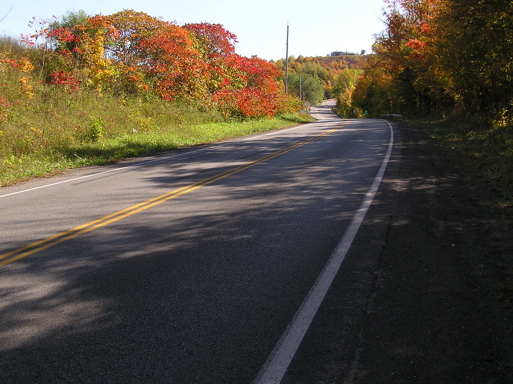
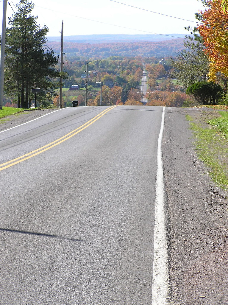
The first serious climb we encounter is "The Oxbow". I love this climb - it's the sort that makes non-cyclists go "You ride up THAT???" It doesn't look like much here, but it's about a mile long, and it pitches between 6 and 13 percent. You start here and end up somewhere above the cool house at the top, in the center. Most of the cars that pass you here are down in the passing gear and they sound a bit labored as they go by. (I, of course, smile as they go by, returning to my open-mouthed grimace only after they are safely out of sight).
Sumacs along the side of the road in brilliant shades of red make plain where Frank Lloyd Wright got his inspiration for his "sumac" pattern in stained glass:

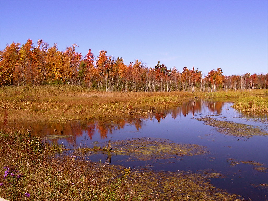
After the top of the Oxbow, the road levels off a bit, but the trend is ever upward. Tangled shrubs and dense swamps make this primo deer country, but not all that hot for farming or housing, so houses are pretty sparse.
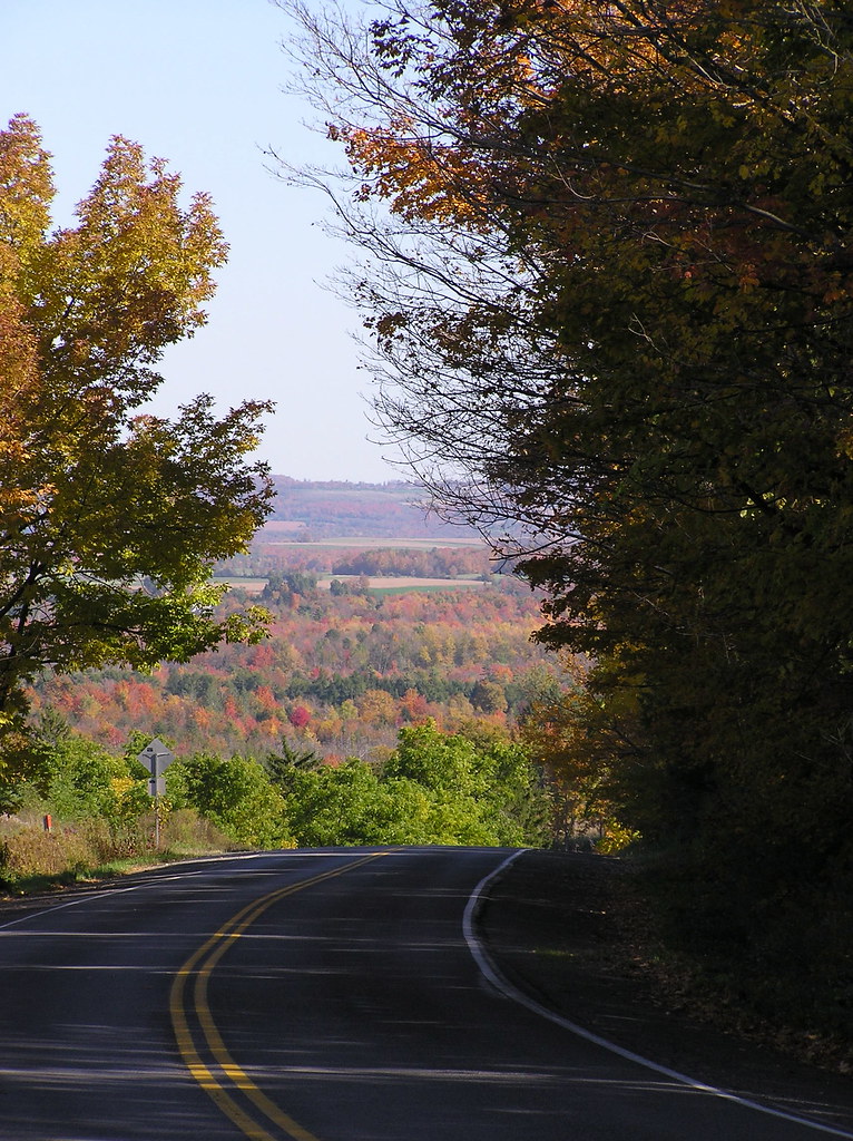
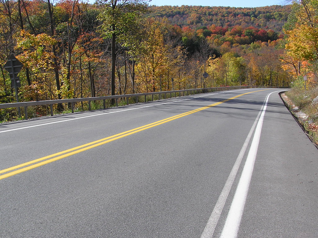
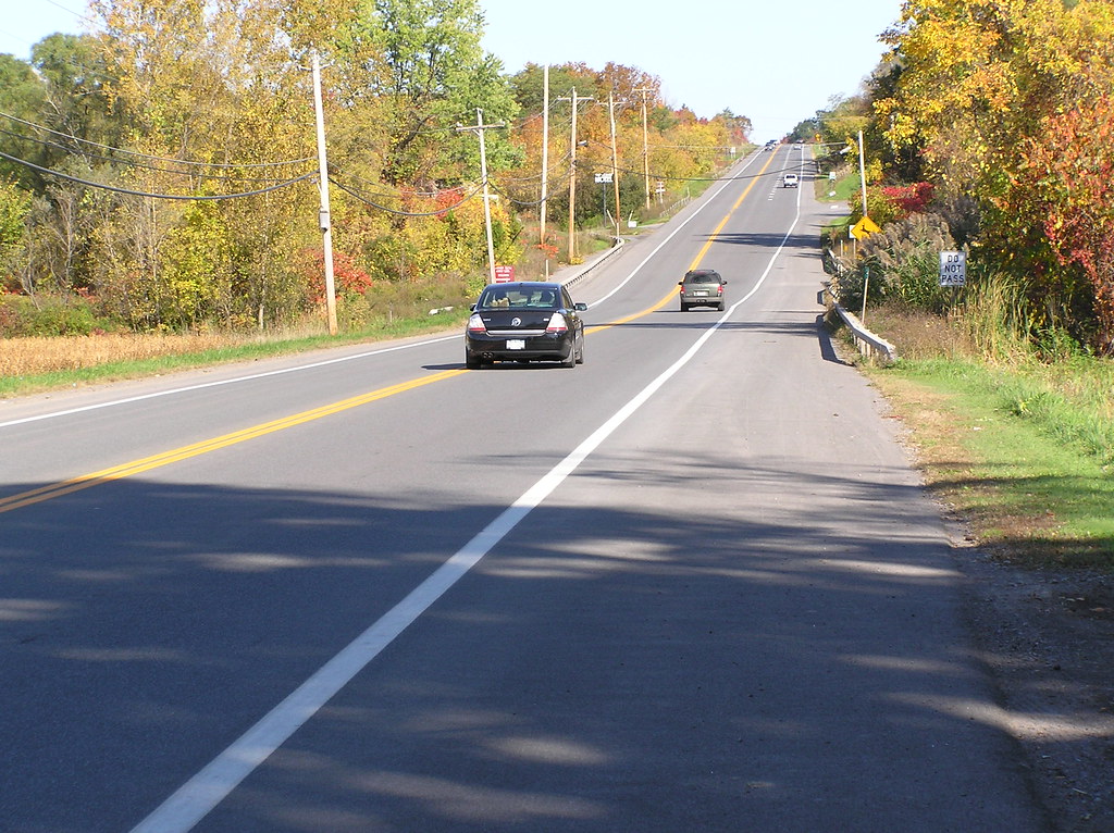
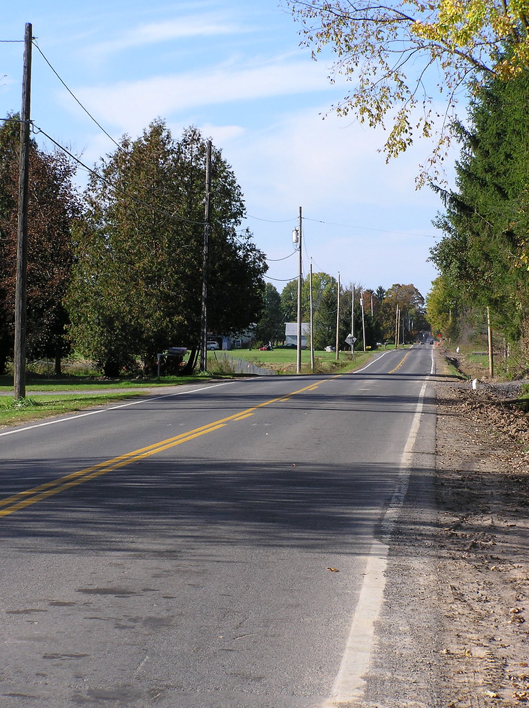
We pass through Peterboro, now no more that two rows of houses, separated by a wide village green, but at one time, this was a hotbed of abolitionism and an important stop on the Underground Railroad. Just outside of Peterboro, we take a right onto Cody Road. Cody is another long, uphill slog. It also has a bit of a nasty trick up it's proverbial sleeve - about six "false tops". Each time you THINK you're at the top, as you crest it, there is yet ANOTHER hill beyond. This may LOOK like you can see the crest of the hill, but don't be fooled:
But there's a payoff - if you turn and look behind you, you're greeted by the view of the altitude you've gained.
Also along Cody road, you pass under a stand of spectacular yellow maple trees that has a fragment of "Tai Shan" by Rush floating through my head:
"In the golden light of autumn
There was magic in the air"
There was magic in the air"

After a couple of miles of climbing comes the payoff: the long, bomber descent into Cazenovia. Put it in the big ring and leave it there for about the next three miles. Speeds upwards of 40MPH are possible here.
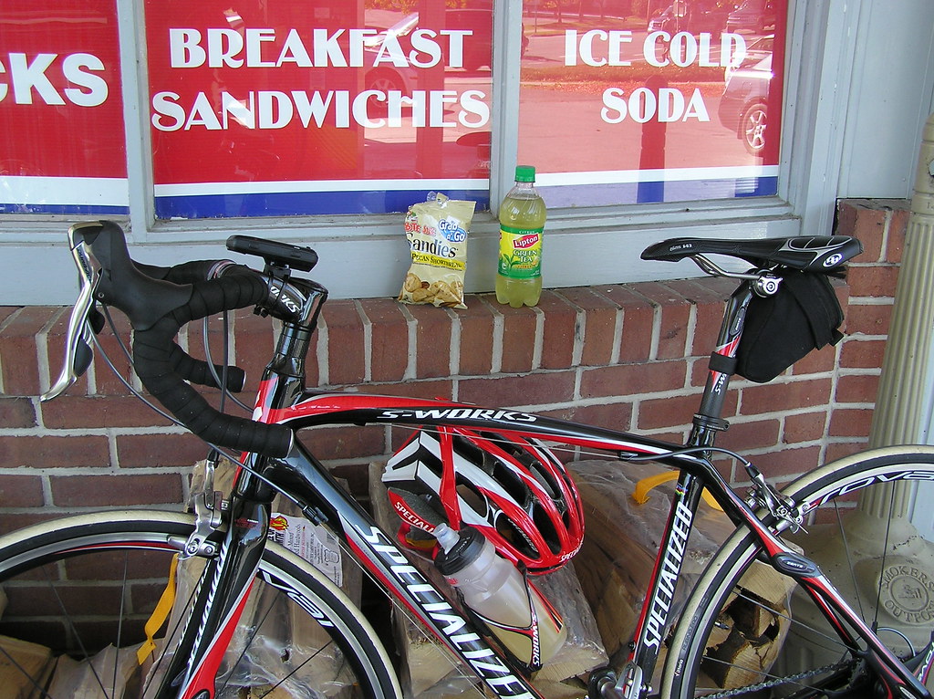
All this climbing has made me hungry - time for a fuel stop. (Hey, don't underestimate the power of Keebler Pecan Sandies!)
From Cazenovia, we turn north on Route 13 and spin easily along Chittenango Creek as it winds it's way inexorably downhill. This road is a favorite place for motorcyclists (to wad themselves up), as it swoops and turns, following the creek on the right.

The creek passes under the road, and we start a long, fast descent. It's pretty easy to get caught up in the speed and scenery...
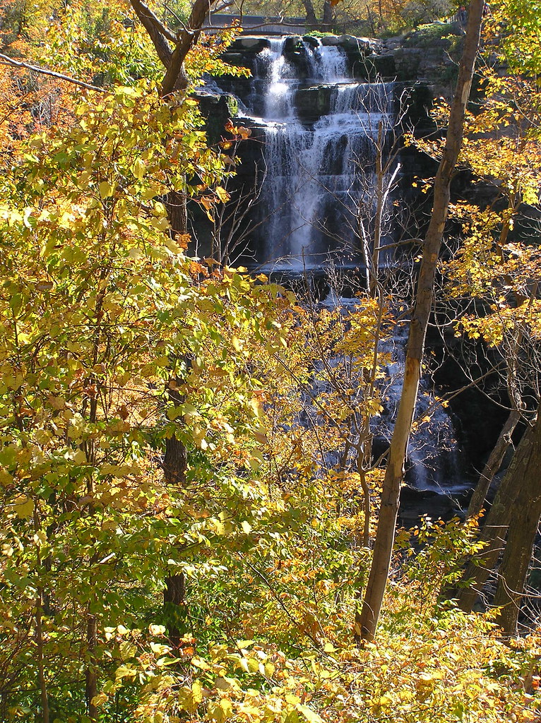
But wait - as the road plunges, so does the creek we've been following. Stop about halfway down the hill and look to the left to be rewarded by this view of Chittenango Falls:
Still descending, we come to the Village of Chittenango and turn west on State Route 5, shortly to be faced with the only significant climb left: Sullivan Hill. This one looks MUCH worse than it actually is, because you can see the whole thing. It's actually a mile long, but only 3-4%. On days when I'm feeling my oat ( singular -I only have one left) I do uphill sprints on this baby.
The next five or six miles pass uneventfully under our wheels and, like an old horse that can smell the barn, I pick up the pace as we turn onto the home stretch. One more mile to go.
With a mixture of regret and relief,(and somewhat knotted legs) we turn into the driveway.
By the numbers, here's what we did:
Summary Data
Total Time (h:m:s) 3:16:36 4:43 pace
Moving Time (h:m:s) 2:45:13 3:58 pace
Distance (mi ) 41.53
Moving Speed (mph) 15.1 avg. 41.0 max.
Elevation Gain (ft) +2,271 / -2,287
Avg. Heart Rate 115 bpm Zone 2.2
Temperature (°F) 65.6°F avg. 66.2°F high
Wind Speed ( mph) SE 2.3 avg. SE 3.5 max.
View Larger Map
Thanks for riding with me today. Hope I managed to show you some of what we have to offer around here. Hopefully, it won't be another six months before we can do this again....

